



Accelerating Smart Forestry by Managing Forests and Agricultural Forests via Satellites
 Published2020.03.03 14:32
Provision of rapid and accurate information and establishment of forest satellite governance
Smart forestry, which utilizes satellites to accumulate forest and agricultural data and responds to climate change and disasters based on this data, is being promoted in earnest.
The Korea Forest Service prepared a basic plan for the development and operation of a forest satellite on March 3 to realize smart forestry that provides rapid and accurate information on forest spaces.
In line with the vision of realizing smart forests and forestry based on broader, faster, and more accurate remote sensing, it consists of three strategic goals—rapid response to forest disasters, provision of accurate forest information, and strengthening of inclusive international cooperation—four core strategies, and 11 detailed implementation tasks.
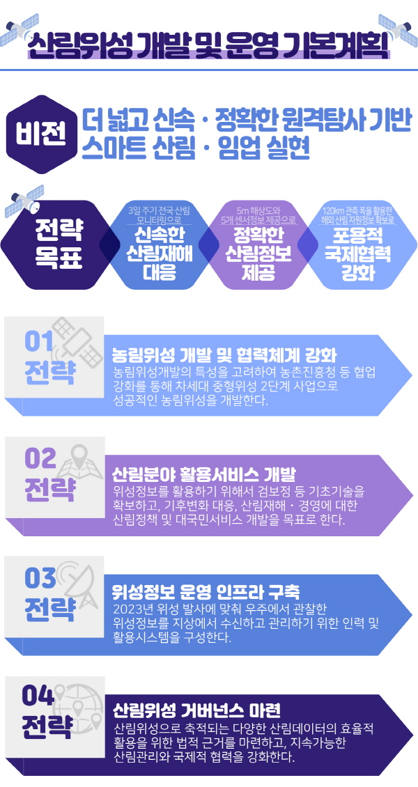
▲ The Korea Forest Service has prepared a basic plan for the development and operation of a forest satellite. <Image = Korea Forest Service>
This satellite system is designed for observing forests and farmland and features performance capabilities distinct from previous ones, with a resolution of 5m and an observation width of approximately 120km.
Considering the characteristics of agricultural and forestry satellite development, we will strengthen collaboration with the Rural Development Administration and successfully develop the agricultural and forestry satellite as the second phase of the next-generation medium-sized satellite project.
Secure basic technologies such as calibration and verification to utilize satellite information, and establish forest policies and public services regarding climate change response, forest disasters, and management.
In addition, in conjunction with the 2023 satellite launch, satellite information observed from space on the groundIt establishes personnel and utilization systems for receiving and managing data, and provides a legal basis for the efficient utilization of forest data accumulated by forest satellites, while simultaneously strengthening sustainable forest management and international cooperation.

▲ A remote sensing-based smart forestry system is being realized from a human-centered forest management approach.
Park Jong-ho, Minister of the Korea Forest Service, stated, “Now that detailed annual master plans for the development of the agricultural and forestry satellite have been established, we will do our utmost to move away from existing human-centered forest management methods and build a smart forestry system based on remote sensing.”
Comments
Related news
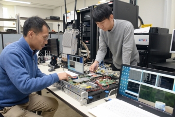
400Mbps communication speed achieved with next-generation satellite communication 'beam hopping'
ETRI has developed a satellite communication transceiver modem utilizing beam-hopping technology to enable flexible allocation of satellite resources according to user demand. Compared to existing systems, data capacity has increased by 15% and transmission speed by 20%. The modem, which achieves a maximum speed of 400Mbps per beam, is scheduled to be utilized for functional verification and communication equipment of a satellite planned for launch in the first half of 2020.
2019.12.04by 최인영 기자
[e-TECH] Stop the location service that can't even change lanes... High-precision location recognition in cm units becomes a reality
Implementing fully autonomous driving requires mapping, localization, sensing, and planning. Current GPS technology can only provide approximate location information and cannot calculate lane changes, appropriate speeds, or upcoming road conditions necessary for vehicle operation. We met with officials from a GNSS receiver module developer that has overcome the limitations of vehicle sensors and implemented positioning accuracy in the sub-centimeter range, and heard about their differentiated technology.
2020.01.07by 최인영 기자

Public frequency supply expanded more than eightfold compared to the previous year.
In 2020, a total of 2.8 GHz of public spectrum is allocated for disaster response, anomalous climate observation, and satellite communication network operations. The government is developing information-sharing methods among radar operating agencies and pursuing dedicated band discovery, taking into account the increasing radar demand for drone detection, weather observation, and maritime surveillance purposes. The supply of public spectrum represents more than an 8-fold increase compared to the previous year.
2020.01.17by 최인영 기자
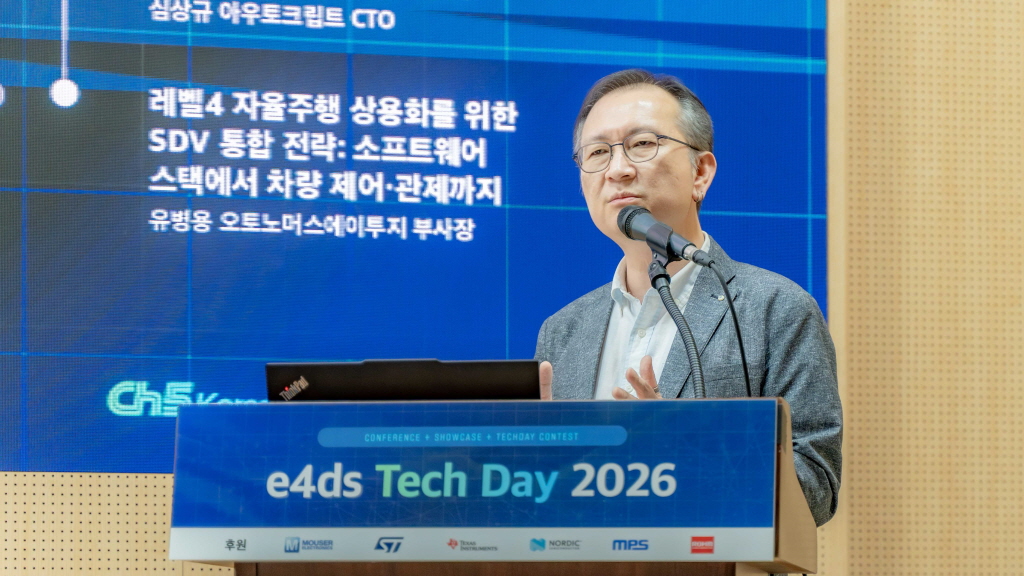
[e4ds Tech Day 2026 ⑨] Sim Sang-gyu, Autocrypt CTO: "In the Physical AI Era, Automotive Security Must Extend Beyond the Vehicle"
At e4ds Tech Day 2026, Sim Sang-gyu, CTO of Autocrypt, explained automotive cybersecurity strategies in the era of Physical AI and SDV (Software-Defined Vehicle). Automobiles are evolving as part of an ecosystem connected to AI, cloud, chargers, IoT, and robots, and he emphasized that the scope of security must expand beyond the vehicle interior to the entire connected environment. In particular, AI model tampering, adversarial attacks, OTA updates, and EV charger hacking were identified as major threats. He explained that response measures require zero trust, AI model integrity protection, intrusion detection, Security by Design and Default, and full lifecycle security management, and that proactive security system establishment beyond regulatory compliance is critical for securing future mobility competitiveness.
2026.10.12by 배종인 기자
NVIDIA to Invest $1 Billion in U.S. Science Over Next Five Years
NVIDIA has announced plans to invest $1 billion over the next five years to strengthen U.S. scientific and technological competitiveness. The company will enhance cutting-edge artificial intelligence research and development capabilities in key areas including quantum computing, healthcare, and energy security, while expanding support for higher education research institutions and cloud service providers. NVIDIA is participating as a major industry partner in the White House Office of Science and Technology Policy's Genesis Mission, and is promoting supercomputer construction in collaboration with national laboratories including Argonne and Los Alamos.
2026.10.12by 배종인 기자











