


Construction of a precision road map for autonomous driving on national highways and national roads has been completed.
 Published2023.04.27 10:36
Plan to complete detailed maps of downtown areas and major roads by 2027.
The Ministry of Land, Infrastructure and Transport's National Geographic Information Institute announced that it has completed the construction of a high-precision road map, a core infrastructure for autonomous driving, targeting national highways and general national roads across the country, and will provide it free of charge to businesses and the public starting on the 27th after a platform service preparation period.
The high-precision road map is available to anyone free of charge on the National Land Information Platform (http://map.ngii.go.kr).
A precision road map is a high-precision electronic map that implements lanes, signs, and road facilities as a digital twin of the road. It is a map that is designed to support autonomous driving by enabling vehicle location determination at the lane level.
It can be used not only for autonomous driving, but also for high-precision navigation, ADAS, and road facility management.
In addition, to expand the usability of the construction results, the data structure of the constructed high-precision road map has been improved (Open Drive format) so that it can be used for simulations, etc., and it is planned to be provided for some sections of the Pangyo autonomous driving pilot zone.
The government is pushing forward with a plan to complete the construction of high-precision road maps targeting urban areas and major roads in line with the commercialization schedule for fully autonomous driving in 2027. Starting in 2023, the construction will begin on special metropolitan cities and provincial roads (four lanes or more) in the metropolitan area, and then expand to the Chungcheong, Gyeongsang, and Jeolla regions.
The director of the National Geographic Information Institute, Jo Woo-seok, said, “Jeong“We will continue to work closely with relevant private and public organizations to build and support the density map so that it can be utilized toward the goal of commercializing fully autonomous driving,” he said.
Comments
Related news
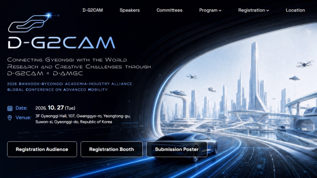
GAIA-Festa 2026, Autonomous Driving, AI, and Aerospace Experts Gather…Discussing Global Cooperation in the 'Silicon Intelligence Era'
GAIA-Festa 2026, which will be held in Suwon on October 27, is an industry-academia-research exchange event that explores the present and future of future mobility and AI technology through the global conference D-G2CAM 2026 and the international contest D-AMGC 2026. Domestic and international experts will share the latest research in autonomous driving, 5G/6G mobility, space technology, and data protection fields, while university students will showcase robots and physical AI prototypes that they have independently developed. Additionally, through poster presentations, corporate exhibitions, international cooperation meetings, and signing ceremonies, a platform will be established to connect the research capabilities and industrial needs of the Gyeonggi region with a global cooperation network.
2026.10.13by 배종인 기자
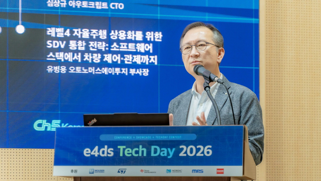
[e4ds Tech Day 2026 ⑨] Sim Sang-gyu, Autocrypt CTO: "In the Physical AI Era, Automotive Security Must Extend Beyond the Vehicle"
At e4ds Tech Day 2026, Sim Sang-gyu, CTO of Autocrypt, explained automotive cybersecurity strategies in the era of Physical AI and SDV (Software-Defined Vehicle). Automobiles are evolving as part of an ecosystem connected to AI, cloud, chargers, IoT, and robots, and he emphasized that the scope of security must expand beyond the vehicle interior to the entire connected environment. In particular, AI model tampering, adversarial attacks, OTA updates, and EV charger hacking were identified as major threats. He explained that response measures require zero trust, AI model integrity protection, intrusion detection, Security by Design and Default, and full lifecycle security management, and that proactive security system establishment beyond regulatory compliance is critical for securing future mobility competitiveness.
2026.10.12by 배종인 기자

Practical HIL Construction Strategy for Automotive and Off-Highway Controller Validation
As vehicle E/E architecture transitions to zonal structures and shifts to software-defined vehicles (SDV), the number of controllers (ECUs) requiring validation and software complexity are surging dramatically. Meanwhile, real vehicle testing cannot provide repeated verification under identical conditions and entails lead time and safety concerns. This white paper explains the principles of HIL (Hardware-in-the-Loop) validation and the structure of the NI platform composed of PXI, SLSC, and VeriStand, and through two actual implementation cases—Camera Record & Replay HIL for In-Cabin Monitoring Controller (ICMU) and Forklift Controller (VCU) HILS—describes how controller-level regression testing becomes possible. Additionally, it explicitly states application boundaries and limitations, such as lack of A2B support.
2026.10.12by 편집부
Korea Automotive Research Institute Signs MOU with Italy National Institute for Wireless Communications
The Korea Automotive Research Institute will sign an MOU with Italy's National Institute for Wireless Communications and launch joint research on next-generation mobility technologies based on 6G, V2X, and connected vehicles. The two organizations will conduct research to apply advanced wireless communication technologies to vehicles and discover international joint projects to advance next-generation connected vehicle technology development.
2026.10.12by 배종인 기자
Color Accuracy Issues in Vehicle Interior Ambient Lighting and Intelligent LED Drivers
Vehicle interior ambient lighting is spreading across all price segments, and the level of color accuracy required of lighting designers is rising accordingly. This white paper quantitatively addresses why temperature drift and individual variations of RGB LEDs cannot be corrected by standard constant-current drivers, and explains an intelligent LED driver approach that integrates an MCU, calibration data, and a LIN network interface into the driver. It covers implementation details of the LITIX Interior TLD4020-3ET currently in production, portfolio roadmap, and evaluation/development environments, and clarifies application boundaries including lack of 48V support, lack of RGBi/ISELED support, and absence of direct optical degradation diagnostics.
2026.10.08by 명세환 기자











