



Autonomous driving requires proof of integrity through precision map-based simulations.
 Published2022.10.11 16:28
▲2022 e4ds Automotive Tech Concert in progress
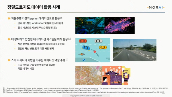
Precise road maps can be used to prevent high-risk lane changes and merges.
Moray Researches 3D Model Placement Using Point Cloud Information from LiDAR
On the 7th, E4ds hosted a webinar at the 2022 e4ds Automotive Tech Concert, inviting Park Hyeon-jin, Group Leader of Moray, to present on the topic of 'Utilization of Precision Road Maps and Seoul Autonomous Vehicle Simulator'.
Morai, a startup founded in 2018, develops and provides a simulation platform for testing and verifying autonomous vehicles.
Group Leader Park Hyun-jin explained, “Moray builds a digital twin that can reproduce tens of thousands of situations in complex real-world road environments in real time through precision map-based automatic construction technology.”
The Software Module Group, led by Group Leader Park, is the department that oversees all software that goes into the simulator.
Additionally, vehicle dynamics, sensor models, and scenario maneuvers We are developing data, even map data.
In this webinar, Group Leader Park Hyeon-jin introduced the development process and technology of an autonomous driving simulator built on high-precision road map data, and discussed the Seoul Metropolitan Government's autonomous vehicle simulator utilizing this data.
In autonomous vehicles, software is responsible for driving, maneuvering, and performing various tasks, and vehicles that incorporate autonomous driving must undergo verification to ensure safe operation.
Simulation is one testing method necessary to verify the safety of autonomous driving systems.
The simulation system itself will perform the tests and provide additional devices to enable automation or scenario exploration, thereby verifying the integrity of the autonomous driving system.
Morai collaborates with map data partners to recreate unique facilities in 3D virtual environments, enabling highly realistic testing.
High-precision roadmap data serves as a priori dataset for autonomous vehicles, helping their perception systems focus on localization and object recognition.
It is also used for safer navigation systems and to prevent dangerous lane changes and merging maneuvers in advance.
After acquiring road facility data such as driving lanes, road surfaces, lanes, and sign data, it is expressed in 3D, and further, the environment is created by applying digital terrain data, building models, and texture and detail work suitable for the actual environment.
The purpose of building this type of environment is to create an environment similar to an actual driving area in which to test autonomous driving systems and provide users with valid data.
It is also very important in preventing test engineers or system operators from failing to detect unexpected situations.>
For example, the relationship between a sign and the position of the sun has a significant impact on the camera sensor, so you can test whether it can detect a sign that is not visible at a particular time.
Group leader Park Hyeon-jin mentioned the need for automated testing (Test Automation).
Originally, the software verification process was conducted by developers or engineers directly running the code.
As the scale of the project grew, it became impossible to perform the required tests with limited personnel and time, so we turned to automated systems.
By automating testing, engineers can verify that their code changes do not adversely affect the overall system or introduce bugs as they modify it.
Additionally, the time and cost required to maintain and maintain code has been dramatically reduced.
As test automation expands to include tools that can automatically test development projects accessed simultaneously by multiple engineers, engineers can modify various codes in addition to their own to produce improved results.
Despite these advantages, simulations using digital twins are currently generally only applicable to small or limited areas.
Because there are technical issues.
To build a precise environment, it is easy to use precision roadmap data as a basic dataset.
The precision road map itself is also subject to periodic changes and updates. As construction and new facility installations alter the basic road geometry and the locations of signals and signs, the map data and testing environment must also be updated.
Scalability is poor when shape changes are small. To prove the safety of a system, tests must be conducted under various environmental conditions, but if environmental preparation is delayed, the number of tests will inevitably be reduced.
This requires continuous updates, but it also presents the challenge of requiring a huge investment of time and money.
Additionally, when data is processed multiple times, it is often unclear how far verification should be done to verify accuracy, and standards for handling issues that arise within precision map data sources are still being established, so users often have to make judgments based on the situation.
We are continuing to research technologies to overcome these difficulties.
A variety of software tools are being developed to reduce the time required to build simulations, and the industry is researching and disseminating standardized data formats to enable the mixing of these datasets.
If research activities continue to focus on collaboration, the time required to integrate maps, sensors, and vehicle data can be shortened.
Quality-enhancing technologies and tools are also being disseminated. A prime example is Unreal Engine 5. Its use is not limited to game development, but is increasingly being used for engineering purposes, particularly in autonomous driving simulations.
The potential for new processes to emerge through the integration of AI technologies is also increasing. Companies like Waymo and Nvidia have made several announcements about NeRF (Neural Radiance Fields) technology. When combined with precision map data, it is believed that this could become a new standard for reconstructing 3D driving environments.
Morai introduced the way he is looking to the future and developing.
At Morai, we are researching, developing, and implementing a system that positions 3D models using point cloud information acquired with lidar equipment.
The locations of facilities, buildings, trees, and other vegetation were double-checked and integrated using point clouds to create a more realistic simulation environment.
In addition to static environments, dynamic elements are also important in simulation. We described a scenario where the user can move according to their intention.
The most basic method of scenario implementation is to generate vehicles in a random pattern and have them drive.
Randomness is an input variable, and it is a device that can create various scenarios by changing the variable.
Random traffic flow is good for creating fast scenarios, but it is not suitable for creating accurate and tailored scenarios.
Therefore, we utilize Open Scenario, an international common scenario format, to allow users to directly control the scenario.
He said that using open scenarios is a way to automate testing and produce execution results right away.
Group leader Park Hyeon-jin then introduced the Seoul Metropolitan Government's autonomous vehicle simulator.
Morai, in collaboration with the Seoul Metropolitan Government, implemented a simulation of the Sangam autonomous vehicle pilot operation zone using high-precision road map data.
By providing geometry including road elevation information and linking it to a vehicle dynamics model, meaningful results were derived.
Traffic lights, signs, etc. are automatically generated through the Morai environment building pipeline.
An example of the Sangam scenario was also introduced through an open scenario where the vehicle ahead in the tunnel slows down when changing lanes.
Group Leader Park Hyeon-jin said, “Precision road map data is an essential partner for Morai,” adding, “Without precision road map data, it would be difficult to reproduce a high-quality simulation environment.”
When asked whether real-time map updates could be applied to simulations, he said, “Some companies are crowdsourcing information acquired from camera sensors attached to vehicles to create maps.He said, “We are developing technologies such as Moraido pipelines and algorithms to see if we can apply this updated map information to simulations.”
Meanwhile, on the second day of the '2022 e4ds Automotive Tech Concert' on October 14, ETRI Senior Researcher Jaejun Yoo will speak on 'Trends in Standardization of Precision Road Maps for Autonomous Driving '.
Comments
Related news
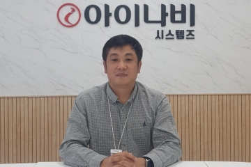
[Interview] Jin-Geun Park, Director of iNavi Systems, “We will develop maps and solutions for various purposes in the autonomous driving era”
We held the '2022 e4ds Automotive Tech Concert' with precision mapping as its theme, and we interviewed Park Jin-geun, Director at iNaviSystems, who participated as a speaker, to discuss his presentation topic and the company's strategy.
2022.09.07by 성유창 기자
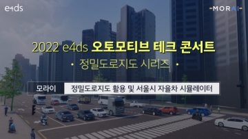
Moray to Present Autonomous Driving Simulation at the 2022 e4ds Automotive Tech Concert
Morai will share the relationship between simulation and precision road maps, how precision map data was utilized, and technical pipelines and work accomplished through a free online webinar.
2022.09.23by 성유창 기자
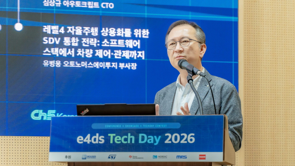
[e4ds Tech Day 2026 ⑨] Sim Sang-gyu, Autocrypt CTO: "In the Physical AI Era, Automotive Security Must Extend Beyond the Vehicle"
At e4ds Tech Day 2026, Sim Sang-gyu, CTO of Autocrypt, explained automotive cybersecurity strategies in the era of Physical AI and SDV (Software-Defined Vehicle). Automobiles are evolving as part of an ecosystem connected to AI, cloud, chargers, IoT, and robots, and he emphasized that the scope of security must expand beyond the vehicle interior to the entire connected environment. In particular, AI model tampering, adversarial attacks, OTA updates, and EV charger hacking were identified as major threats. He explained that response measures require zero trust, AI model integrity protection, intrusion detection, Security by Design and Default, and full lifecycle security management, and that proactive security system establishment beyond regulatory compliance is critical for securing future mobility competitiveness.
2026.10.12by 배종인 기자

Practical HIL Construction Strategy for Automotive and Off-Highway Controller Validation
As vehicle E/E architecture transitions to zonal structures and shifts to software-defined vehicles (SDV), the number of controllers (ECUs) requiring validation and software complexity are surging dramatically. Meanwhile, real vehicle testing cannot provide repeated verification under identical conditions and entails lead time and safety concerns. This white paper explains the principles of HIL (Hardware-in-the-Loop) validation and the structure of the NI platform composed of PXI, SLSC, and VeriStand, and through two actual implementation cases—Camera Record & Replay HIL for In-Cabin Monitoring Controller (ICMU) and Forklift Controller (VCU) HILS—describes how controller-level regression testing becomes possible. Additionally, it explicitly states application boundaries and limitations, such as lack of A2B support.
2026.10.12by 편집부
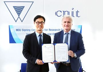
Korea Automotive Research Institute Signs MOU with Italy National Institute for Wireless Communications
The Korea Automotive Research Institute will sign an MOU with Italy's National Institute for Wireless Communications and launch joint research on next-generation mobility technologies based on 6G, V2X, and connected vehicles. The two organizations will conduct research to apply advanced wireless communication technologies to vehicles and discover international joint projects to advance next-generation connected vehicle technology development.
2026.10.12by 배종인 기자











