



Precision Map, Autonomous Driving Pre-verification Tool
 Published2022.10.24 14:45
October 14 '2022 Automotive Tech Concert' Viewer Q&A
ISO TC204, Reflecting Key Perspectives on Road Traffic Systems and Overall Road Environment
Yoo Jae-jun, Principal Researcher at ETRI, provided answers on October 14 to questions that could not be addressed due to time constraints during the presentation on "Standardization Trends for Precision Road Maps for Autonomous Driving" at the 2022 e4ds Automotive Tech Concert.
■ What are the key matters that need to be reviewed and verified when attempting to standardize precision road maps for autonomous driving?
Above all, it appears necessary to clearly define the requirements of "what precision road maps should provide for autonomous driving?" This is currently being pursued at ISO TC204 and other bodies, and map specifications that can be utilized as precision road maps reflect key perspectives of △road traffic systems △overall road environment and △applied services. In addition, for vehicle driving and control in autonomous driving, it would be beneficial to reflect requirements from a vehicle perspective, but this is an area where automotive manufacturers' intellectual property rights may be involved, and therefore is not easily disclosed, as I understand it. Nevertheless, it is self-evident that vehicle requirements are necessary to effectively support autonomous driving.
■ What is the method to effectively expand and construct infrastructure for commercializing autonomous driving? Additionally, please explain how to utilize precision road maps effectively and beneficially in this regard.
For effective expansion and construction of infrastructure for autonomous driving commercialization, it is necessary to first define what infrastructure must have and what requirements are needed for autonomous driving, and then determine how to efficiently configure these based on the current status of existing infrastructure. In that process, precision road maps can be utilized as an important tool to accurately describe existing road infrastructure and driving environments as they are, and to pre-verify whether the expansion of tangible and intangible infrastructure can be achieved efficiently.
■ When explaining LDM, traffic signals were also mentioned. Is signal information provision opened, and are signals updated in real-time? If latency occurs, what is the tolerance level?
Message specifications for signal information provision have been established, and some domestic autonomous driving pilot zones are applying and utilizing them in pilot programs, as I understand. Since the signal message is generated and transmitted based on signal information conveyed from the signal controller, it can be said to be updated in real-time. However, in the case of latency, there are aspects that vary depending on implementation, so the exact amount of delay is not known, but since signal information requires real-time transmission, it is not expected to be large. The standard also does not explicitly specify the tolerance for signal delay.
■ At the Korean Academy of Engineering's Autonomous Driving Forum, parking spaces were selected as the priority application field rather than ordinary roads. Are such parking spaces included in the road definitions you described?
Currently, detailed information about parking lots or parking spaces is not included in the scope of precision road maps. As ancillary facilities related to roads, an overview of entire parking lots or parking spaces may be included, but detailed information about parking slots within parking spaces and movement within parking spaces is not yet included. I understand that the National Geographic Information Institute's precision road map intends to include this in the future, and in ISO TC204 standards, this is also being discussed as a separate standard.
■ What is the LoD level currently applied to the implemented map? I am curious whether all components are applied at the same level or differentially.
>> LoD indicates the level of data specificity. Currently, precision road maps do not have LoD separately defined. This is because precision road maps require a specific level of detail so they can be utilized in control and other applications. If LoD were to be applied, it is expected to be applied differently depending on the importance of constituent elements.
■ What is the number of functions provided by default in RoadXML and the method for adding and updating functions?
>> The number of functions that can be defined by default and extended may change depending on discussions and versions, so it is recommended to directly check the specification. Along with this, it is also advisable to directly refer to the mechanism explained in the corresponding specification for the method of adding and updating.
■ I would like to know about recent issues and resolution cases related to precision road map standardization.
There are two most recent issues. First is dynamic transmission and updating of portions of precision road maps, and second is ensuring interoperability with other standardization discussion groups such as ISO TC211 spatial information. Since both are important and challenging issues, it would be more accurate to say that efforts for resolution are continuing rather than that the issues have been resolved. Related standards continue to be discussed for dynamic transmission and updating of portions of precision maps, and continuous standardization discussions are being conducted through JWG (Joint Working Group) with the relevant group to ensure interoperability.
Comments
Related news
.jpg)
[ETRI①]ETRI, “We will strive to achieve the goal of level 4 autonomous driving by 2027”
ETRI (Electronics and Telecommunications Research Institute) announced that it is currently carrying out an autonomous driving technology development innovation project through government R&D, with the goal of advancing to Level 4 fully autonomous driving technology, and is conducting research to enable seamless driving in unstructured roads (residential roads) and adverse weather conditions.
2022.07.20by 성유창 기자
[ETRI②] ETRI: "5G NR latency expected to be 1-3ms."
Min Kyung-wook, director at the Electronics and Telecommunications Research Institute (ETRI), stated that when 5G NR is developed and deployed, latency will be reduced to 1–3ms, which is approximately 100 times lower than LTE V2X, and this will provide significant benefits for autonomous vehicle safety.
2022.07.20by 성유창 기자
Geographic Information Institute produces precision maps based on ISO specifications.
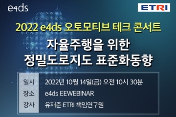
e4ds held a webinar with Yu Jae-jun, principal researcher at ETRI, who is cooperating with the National Geographic Information Institute on the interoperability of precision map structures, specifications, and standardization items, in a session to share information about precision road maps, which are essential infrastructure for autonomous driving.
2022.10.20by 성유창 기자
GAIA-Festa 2026, Autonomous Driving, AI, and Aerospace Experts Gather…Discussing Global Cooperation in the 'Silicon Intelligence Era'
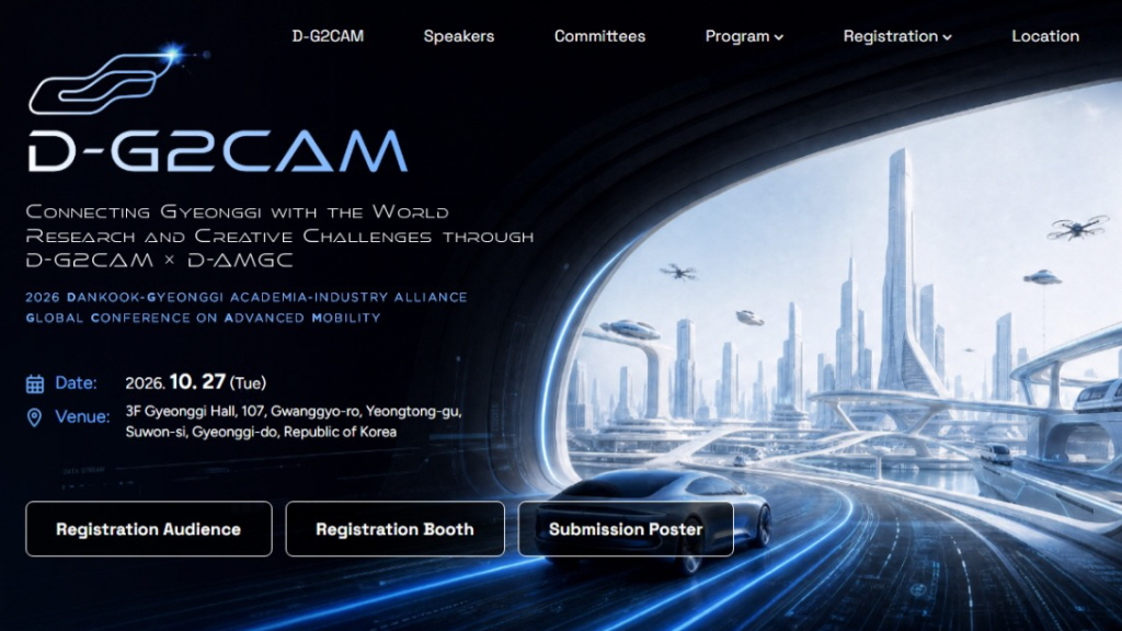
GAIA-Festa 2026, which will be held in Suwon on October 27, is an industry-academia-research exchange event that explores the present and future of future mobility and AI technology through the global conference D-G2CAM 2026 and the international contest D-AMGC 2026. Domestic and international experts will share the latest research in autonomous driving, 5G/6G mobility, space technology, and data protection fields, while university students will showcase robots and physical AI prototypes that they have independently developed. Additionally, through poster presentations, corporate exhibitions, international cooperation meetings, and signing ceremonies, a platform will be established to connect the research capabilities and industrial needs of the Gyeonggi region with a global cooperation network.
2026.10.13by 배종인 기자
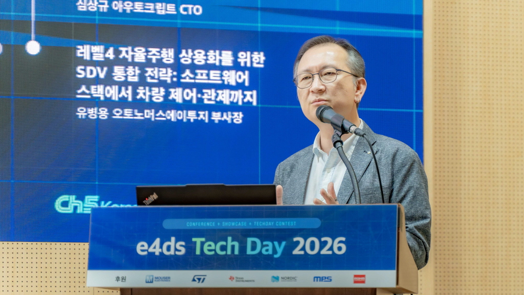
[e4ds Tech Day 2026 ⑨] Sim Sang-gyu, Autocrypt CTO: "In the Physical AI Era, Automotive Security Must Extend Beyond the Vehicle"
At e4ds Tech Day 2026, Sim Sang-gyu, CTO of Autocrypt, explained automotive cybersecurity strategies in the era of Physical AI and SDV (Software-Defined Vehicle). Automobiles are evolving as part of an ecosystem connected to AI, cloud, chargers, IoT, and robots, and he emphasized that the scope of security must expand beyond the vehicle interior to the entire connected environment. In particular, AI model tampering, adversarial attacks, OTA updates, and EV charger hacking were identified as major threats. He explained that response measures require zero trust, AI model integrity protection, intrusion detection, Security by Design and Default, and full lifecycle security management, and that proactive security system establishment beyond regulatory compliance is critical for securing future mobility competitiveness.
2026.10.12by 배종인 기자











