


iNavi Systems, “Key to Map Construction is Ensuring Timeliness”
 Published2022.11.08 11:28
▲ Park Jin-geun, Director of iNavi Systems (right)
2022 Automotive Tech Concert Viewer Q&A
HD Map, Map Change Detection and Automated Updates Are Important
Park Jin-geun, Director of iNavi Systems, provided answers to questions he was unable to answer due to time constraints during the presentation on "Hybrid Maps for Point-to-Point Movement Based on Designated Zones" at the 2022 e4ds Automotive Tech Concert on the 21st.
■ When producing high-precision maps, are there any interruptions related to GPS signals? If they do occur, what solutions are available?
In cases where GPS signals cannot be received, such as in tunnels, the vehicle drives without changing lanes using a lane-keeping method via vision sensors.
■ What is the latency when traffic conditions are reflected in the navigation system via real-time updates?
I believe this is a question about real-time traffic information. Although it may vary depending on the company operating the real-time traffic information, it is usually operated every 10 to 20 minutes.
■ What are the methods and processes for easy and fast point-to-point movement based on designated zones?
For P2P movement, the vehicle's movement path is rapidly predicted using an SD Map (existing navigation map), and a detailed trajectory at the lane level is generated using information from the HD Map of the corresponding path segment. This method is currently being researched by iNavi Systems, and the P2P process may vary depending on Tesla or the automaker.
■ What are the requirements for effectively implementing a hybrid map?
The key to map construction lies in ensuring up-to-dateness. To rapidly update the entire process from data collection to construction, technologies for map construction automation or real-time updates are required.
■ What are the specific solutions for the avoidance points?
Avoidance points can be classified into safe autonomous driving (potholes, construction roads, etc.) and legal avoidance sections (child protection zones, roads within the complex), and points for safe autonomous driving are elements that must be richly established through a rapid map update system and construction. It appears necessary to continuously deliberate on institutional improvements regarding legal evasion clauses through public-private consultative bodies.
■ What are the efficient measures to resolve potential problems or difficulties that may arise during the process of constructing high-precision road maps for major roads and urban areas nationwide?
HD Maps require reconstruction even if only the lane markings need to be repainted. This highlights the importance of map change detection and automated update systems. The government is striving to establish a real-time update system, and map-building companies, including the government, are conducting extensive research on automated mapping and update systems.
■ What interface or method is used to deliver the map when the machine provides it in real time
The trajectory generation and vehicle delivery for the P2P autonomous driving described above are being prepared based on a cloud server. When the vehicle requests a route change initially or while driving, the trajectory is transmitted through a cloud server.
■ What is the priority when information from vehicle-mounted sensors and maps collide during autonomous driving?
Rather than the concept of a conflict between sensor and map information, it seems that safe driving is achieved by adding real-world information provided by the sensor to the predictive information provided by the map. If we were to distinguish priorities, sensor information that makes judgments based on real-world information would likely take precedence over the map.
For example, if the trajectory provided by the map recommends driving in the second lane, the autonomous vehicle attempts to drive in the second lane as much as possible, but in the event of unexpected situations (accidents, construction) that occur while driving, it is enabled to perform evasive driving according to the situation.
Comments
Related news

[Interview] Jin-Geun Park, Director of iNavi Systems, “We will develop maps and solutions for various purposes in the autonomous driving era”
We held the '2022 e4ds Automotive Tech Concert' with precision mapping as its theme, and we interviewed Park Jin-geun, Director at iNaviSystems, who participated as a speaker, to discuss his presentation topic and the company's strategy.
2022.09.07by 성유창 기자

iNavi Systems, Research on Autonomous Vehicle Trajectory Information Generation Technology
Ainavi Systems shared various information including ongoing research projects, stating that the company is conducting research and development on precision map construction and technologies required for the autonomous driving era, which is a core segment of the future map market.
2022.11.01by 성유창 기자
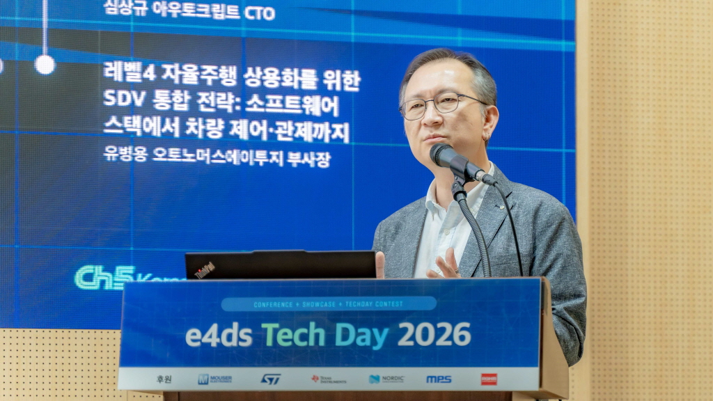
[e4ds Tech Day 2026 ⑨] Sim Sang-gyu, Autocrypt CTO: "In the Physical AI Era, Automotive Security Must Extend Beyond the Vehicle"
At e4ds Tech Day 2026, Sim Sang-gyu, CTO of Autocrypt, explained automotive cybersecurity strategies in the era of Physical AI and SDV (Software-Defined Vehicle). Automobiles are evolving as part of an ecosystem connected to AI, cloud, chargers, IoT, and robots, and he emphasized that the scope of security must expand beyond the vehicle interior to the entire connected environment. In particular, AI model tampering, adversarial attacks, OTA updates, and EV charger hacking were identified as major threats. He explained that response measures require zero trust, AI model integrity protection, intrusion detection, Security by Design and Default, and full lifecycle security management, and that proactive security system establishment beyond regulatory compliance is critical for securing future mobility competitiveness.
2026.10.12by 배종인 기자

Practical HIL Construction Strategy for Automotive and Off-Highway Controller Validation
As vehicle E/E architecture transitions to zonal structures and shifts to software-defined vehicles (SDV), the number of controllers (ECUs) requiring validation and software complexity are surging dramatically. Meanwhile, real vehicle testing cannot provide repeated verification under identical conditions and entails lead time and safety concerns. This white paper explains the principles of HIL (Hardware-in-the-Loop) validation and the structure of the NI platform composed of PXI, SLSC, and VeriStand, and through two actual implementation cases—Camera Record & Replay HIL for In-Cabin Monitoring Controller (ICMU) and Forklift Controller (VCU) HILS—describes how controller-level regression testing becomes possible. Additionally, it explicitly states application boundaries and limitations, such as lack of A2B support.
2026.10.12by 편집부
Korea Automotive Research Institute Signs MOU with Italy National Institute for Wireless Communications
The Korea Automotive Research Institute will sign an MOU with Italy's National Institute for Wireless Communications and launch joint research on next-generation mobility technologies based on 6G, V2X, and connected vehicles. The two organizations will conduct research to apply advanced wireless communication technologies to vehicles and discover international joint projects to advance next-generation connected vehicle technology development.
2026.10.12by 배종인 기자











