



Mobiltech: "Precision Map Information Sensor Synchronization and Calibration in Progress"
 Published2022.11.15 11:07
▲ Yoo Hyeong-gon, Head of Mobiltech Headquarters (right)
2022 Automotive Tech Concert Viewer Q&A
"Our goal is to provide real-time updates using various transportation facilities."
On the 28th, Yoo Hyeong-gon, head of Mobiltech, answered questions that could not be answered due to time constraints during his presentation on “3D spatial information update and utilization technology for realizing realistic smart cities” at the 2022 e4ds Automotive Tech Concert.
■ What are the conditions necessary to ensure that mobility and artificial intelligence can be used in a complementary manner and create synergy effects?
Based on what Mobiltech aims to achieve, what mobility needs is AI to provide accurate and up-to-date data so that users can utilize it safely.
By synchronizing various sensors to the exact time, data is built, and through data fusion through calibration, artificial intelligence is built to make judgments and learn quickly and accurately.
■ Children are involved in implementing smart cities Smart transportation system that allows students to commute to and from school safely, including smart schools
Yes, that's right. Smart cities digitalize the environment in which we live and work, and represent, classify, and judge situations occurring in real time within it.
Additionally, the environment in which children live is also made safe for use within the smart city.
■ How do you select the data group to be collected? What are the criteria or selection methods to optimize to prevent unnecessary data from being collected?
Determine the target of data to be collected based on the goal.
Also, in this environment where we live, there are many different types of mobile technologies that build and acquire cities, but when the collecting vehicle is stationary, it does not acquire image data that takes up a lot of space, and the acquisition or not is optional.
■ I am curious about what technology is used to automatically extract and process map information with high precision.
A precision map is map data that has a three-dimensional coordinate system.
Basically, the map is created by merging GPS data and LiDAR data with high precision and is produced based on ground control points.
It also performs synchronization and calibration of different sensors.
Based on accurate data, 3D data analysis, classification, and fusion with acquired camera data are performed to automatically extract, process, and inspect.
■ Currently, navigation companies or navigation map companies use vehicles to collect data and images to create maps, but Mobiltech What is the difference
Existing navigation companies are based on 2D image data rather than 3D data.
Although this data is not too difficult for humans to use, Mobiltech relies on more accurate data, such as lane information, location, and height, to operate autonomous vehicles and platforms.
■ What are the important considerations when reconstructing 3D images of overlapping and flat surfaces, such as spaces and buildings, to increase the precision and accuracy of digital twins?
When composing a photo into 3D, precision and accuracy can be increased if there is a lot of data by utilizing multiple survey points, but since it is converting a 2D image into 3D, there is bound to be a limit to the accuracy.
When taking pictures of a building with a drone and creating a 3D model, the top of the building appears well, but the data on the first floor (floor) is very inaccurate.
We are actually building a 3D space with lidar because the data we are going to use is pedestrian-based data.
■ What are the important factors to consider when trying to optimally detect roads, facilities, and objects?
I think it is an optimization through the fusion of various algorithms and data on various environments, angles, and backgrounds of the target object.
■ In the case of roads, frequent updates may be necessary as changes occur frequently due to various construction projects or government policies. How often is the update cycle?
Currently, it takes about one day for Mobiltech to be acquired, and about a week for the entire Gangnam District in Seoul.
Ultimately, we aim to provide real-time updates by utilizing various transportation facilities such as taxis and buses.
Comments
Related news

[Interview] Yoo Hyeong-gon, Head of Mobiltech Headquarters, “Mobiltech Road Facility/Object Detection Technology Reduces Precision Map Update Speed”
We invited Mobil Tech, which possesses a point cloud map comparison update algorithm and technology capable of extracting only changed portions by comparing with previously constructed point clouds, to the '2022 e4ds Automobit Tech Concert,' and spoke with Yoo Hyung-gon, Head of the Mobil Tech Division, who participated as a speaker.
2022.10.20by 성유창 기자

Mobiltech, “Will Present a Paradigm Beyond Spatial Recording”
MobilTech shared limitations and issues of existing digital twins and introduced 'Replica City', a three-dimensional urban data solution that provides the latest data reflecting daily changes in cities.
2022.11.08by 성유창 기자
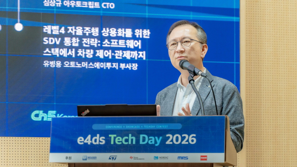
[e4ds Tech Day 2026 ⑨] Sim Sang-gyu, Autocrypt CTO: "In the Physical AI Era, Automotive Security Must Extend Beyond the Vehicle"
At e4ds Tech Day 2026, Sim Sang-gyu, CTO of Autocrypt, explained automotive cybersecurity strategies in the era of Physical AI and SDV (Software-Defined Vehicle). Automobiles are evolving as part of an ecosystem connected to AI, cloud, chargers, IoT, and robots, and he emphasized that the scope of security must expand beyond the vehicle interior to the entire connected environment. In particular, AI model tampering, adversarial attacks, OTA updates, and EV charger hacking were identified as major threats. He explained that response measures require zero trust, AI model integrity protection, intrusion detection, Security by Design and Default, and full lifecycle security management, and that proactive security system establishment beyond regulatory compliance is critical for securing future mobility competitiveness.
2026.10.12by 배종인 기자

Practical HIL Construction Strategy for Automotive and Off-Highway Controller Validation
As vehicle E/E architecture transitions to zonal structures and shifts to software-defined vehicles (SDV), the number of controllers (ECUs) requiring validation and software complexity are surging dramatically. Meanwhile, real vehicle testing cannot provide repeated verification under identical conditions and entails lead time and safety concerns. This white paper explains the principles of HIL (Hardware-in-the-Loop) validation and the structure of the NI platform composed of PXI, SLSC, and VeriStand, and through two actual implementation cases—Camera Record & Replay HIL for In-Cabin Monitoring Controller (ICMU) and Forklift Controller (VCU) HILS—describes how controller-level regression testing becomes possible. Additionally, it explicitly states application boundaries and limitations, such as lack of A2B support.
2026.10.12by 편집부
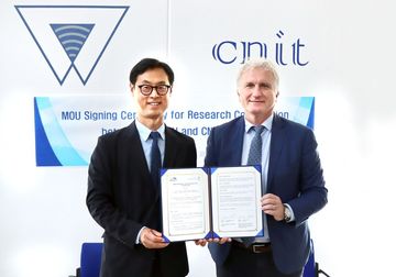
Korea Automotive Research Institute Signs MOU with Italy National Institute for Wireless Communications
The Korea Automotive Research Institute will sign an MOU with Italy's National Institute for Wireless Communications and launch joint research on next-generation mobility technologies based on 6G, V2X, and connected vehicles. The two organizations will conduct research to apply advanced wireless communication technologies to vehicles and discover international joint projects to advance next-generation connected vehicle technology development.
2026.10.12by 배종인 기자











